
Trail Sections
Download our printable Information Brochure
Christchurch Cathedral Square to Marshs Road
Section Distance: 15.4km
Fitness level and Skill: Easy
The Rail Trail begins at Cathedral Square located in the heart of Christchurch passing by the Arts Centre, Canterbury Museum, Boat Sheds and hospital and then through Hagley Park. Enjoy a few minutes riding in the park before arriving at a well-controlled intersection where you will cross Moorehouse Ave onto Grove Rd. You are now on the Little River Link Cycleway (which is the city section of the Christchurch to Little River Rail Trail) https://ccc.govt.nz/transport/getting-around/cycling/cycle-routes/ all the way to Marshs Road. The trail leads from Grove Road, through Church Square and down Collins Road to a controlled crossing at Brougham Street and turns west onto seperate shared paths. This path provides a safe cycling environment next to the motorway and onto Annex Road then continues beside Wigram Road. It briefly turns south near Hayton Road then continues to the West along the Northern side of the Christchurch Southern Motorway. Use the Owaka motorway underpass to go under and then follow the pathway alongside the motorway on the south side. This then leads under Springs Road and 500m afterward the path heads South away from the motorway (still off-road) towards Marshs Road. Although not obvious at Marshs Road you will leave the city section of the Trail to keep heading South along an off-road shared pathway that is using the old railway tracks to reach Prebbleton Village.
Shands Road (Hornby) to Prebbleton
Section Distance: 4km
Fitness level and Skill: Easy
As well as the Rail Trail beginning at Cathedral Square in the heart of Christchurch, it also has an alternative starting place in Hornby. This section begins at a small carpark, with a trail map, on Shands Road 400m south of the Shands Road-Main South Road (State Highway 1, Halswell Junction Roa) intersection in the Christchurch suburb of Hornby. The pathway heads south alongside Shands Road over the SW76 notorway then turns left (east) to follow Marshs Road before intersecting with the Little River Rail Trail proper at the old train crossing on Marshs Road - all signposted.
Connecting Hornby to the nearby residential village of Prebbleton in Selwyn District, the asphalted trail runs alongside Shands Road, turns into Marshs Road then goes along the separated bike path on the old railway corridor into Prebbleton. You can visit CCC's latest map here: https://ccc.govt.nz/transport/getting-around/cycling/cycling-maps.
Marshs Road to Prebbleton
Section Distance: 4km
Fitness level and Skill: Easy
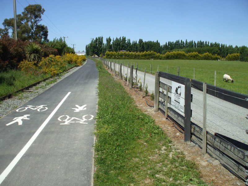
From Marshs Road the trail then goes along the separated bike path on the old railway corridor into Prebbleton.
Prebbleton to Lincoln
Section Distance: 7.7km
Fitness level and Skill: Easy
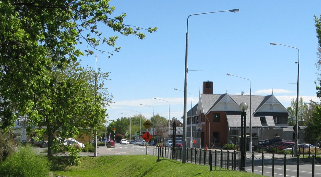
This section of the Rail Trail, which opened in November 2006, starts at the Birchs Road/Trices Road intersection and is a seven kilometer off-road ashphalt pathway alongside Birchs Road to the township of Lincoln. It runs alongside the original railway line through pleasant rural surroundings and is wide enough to enable cycling in both directions.
Public Toilets are at the Prebbleton Reserve (by the children's playground) and Lincoln. Visit the Prebbleton Nature Park on Springs Road.
For those driving to Prebbleton there is adequate parking along Birchs Road between Springs Road and Trices Road or alternatively at the Prebbleton Reserve.
Lincoln to Neills Road
Section Distance: 9.3km
Fitness level and Skill: Easy
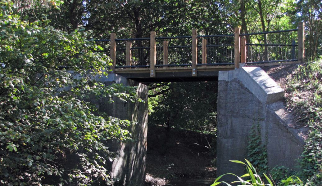
From Lincoln the route follows Edward Street before entering Liffey Spring Drive and emerging into the wetland areas. From the wetland areas the trail exits onto Moirs Lane before crossing Ellesmere Road and after a short off road section joins Collins Road East. From Collins Road East the trail joins River Road with this section of trail being on road. This is a rural road and safety is encouraged.
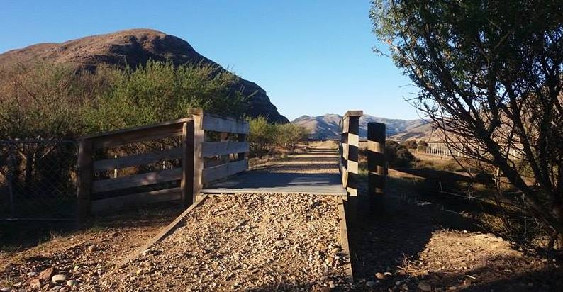
Neills Road to Motukarara
Section Distance: 6km
Fitness level and Skill: Easy
This section of the trail is off-road and the surface is hardpacked gravel. The route is adjacent to the Halswell Canal but deviates away onto farmland for a approximately 1.7 kilometers to reduce the impact of disturbance on the visiting bird life. The bird life will be a key attraction of this unique wetland area. The Waihora Ellesmere Trust (WET), Rail Trail Trust and Environment Canterbury worked together to develop a planting plan that has enhanced the wetland for wildlife, provided interpretation signage to promote the importance of this wetland ecosystem and inform Rail Trail users of its sensitivity and value to the environment.
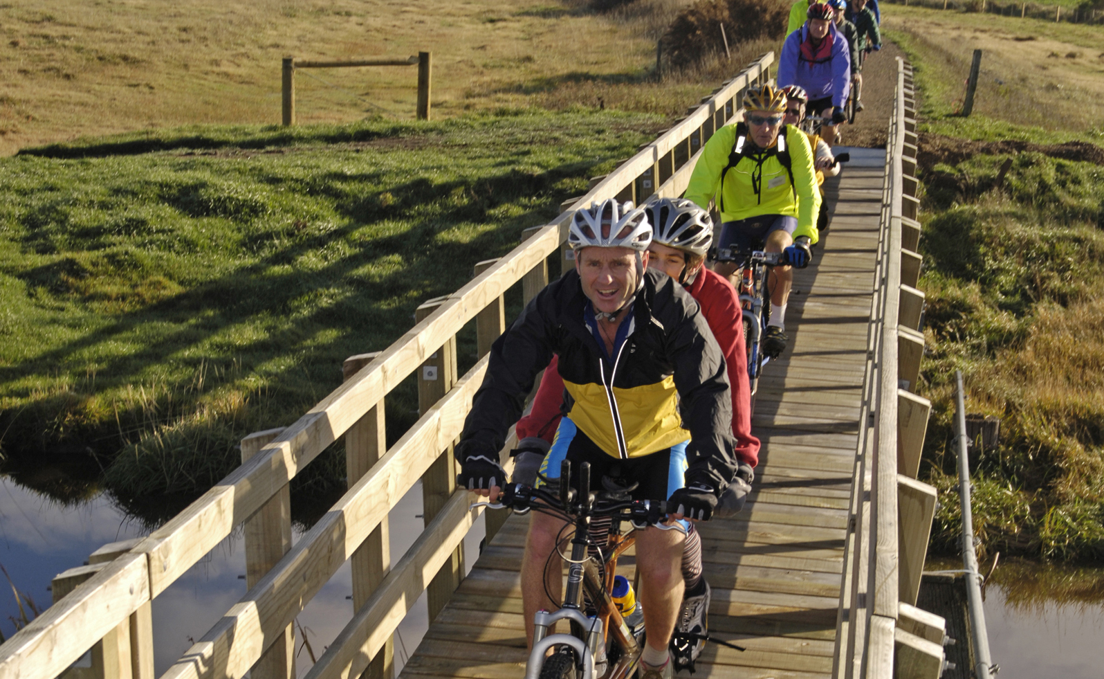
Motukārara to Kaituna Quarry
Section Distance: 7.9km
Fitness level and Skill: Easy
This section, plus most of the sections between here and Little River, were the first to be opened to the public in May 2006. The Rail Trail, from Motukārara, is on public land managed by the Department of Conservation (DoC). The area is also pursuant to a unique Management Plan administered by the Te Waihora Management Board (Department of Conservation and Ngāi Tahu).
Most of this section of the Rail Trail runs alongside Te Waihora (Lake Ellesmere), where the railway embankment is raised above the lake and adjoining wetlands, affording magnificent views of the surroundings and the prolific birdlife.
The original Motukārara station was restored and relocated on to the trail at the Fiddlers Road entrance by the Lincoln Rotary Club, who were also responsible for landscaping the Station area.
The section passes the Kaituna Lagoon and Kaitorete Spit (the largest landform of its type in New Zealand) and ends at Kaituna Quarry (Ataahua Reserve). There is significant natural, cultural and historical interest along this section of the route. Kaituna Valley and Kaituna Lagoon are of particular importance to many Canterbury Papatipu Runanga.
At the Ataahua Reserve (Kaituna Quarry) the car park and landscaping were provided by the Hornby Rotary Club. The car park is accessed directly from State Highway 75. DoC has installed a toilet on the approach path between the Railtrail and the Kaituna car park.
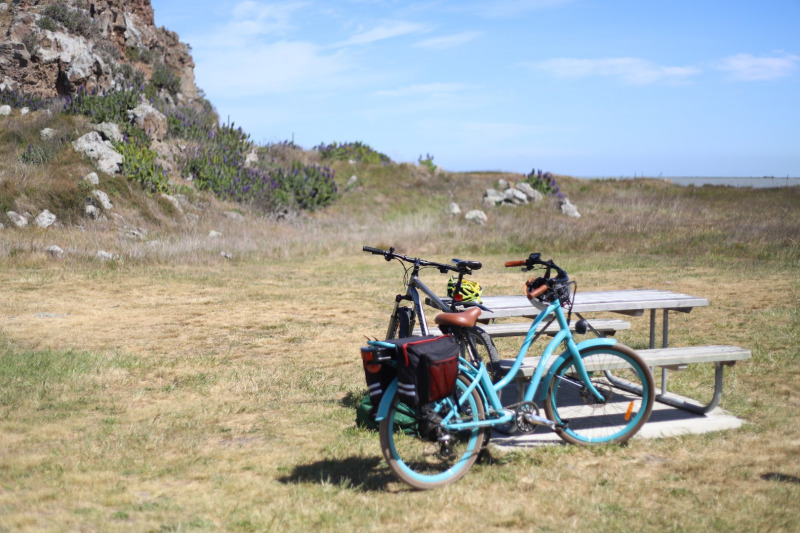
Kaituna Quarry to Birdlings Flat
Section Distance: 5.4km
Fitness level and Skill: Easy
This section, plus most of the section between Birdlings Flat and Little River and between Motukārara and Kaituna Quarry Reserve, were the first to be opened to the public in May 2006. The Rail Trail, from Motukarara, is on public land managed by the Department of Conservation (DoC). The area is also pursuant to a unique Management Plan administered by the Te Waihora Management Board (Department of Conservation and Ngai Tahu).
Most of this section of the Rail Trail runs alongside Te Waihora (Lake Ellesmere), where the railway embankment is raised above the lake and adjoining wetlands, affording magnificent views of the surroundings and the prolific birdlife.
After the trail moves away from the lake’s edge, riders can take a detour to Birdlings Flat, where they will be offered a breath-taking view of the ocean and the chance to stroll along the beach of the Kaitorete Spit, which is rich in gemstones, particularly agates.
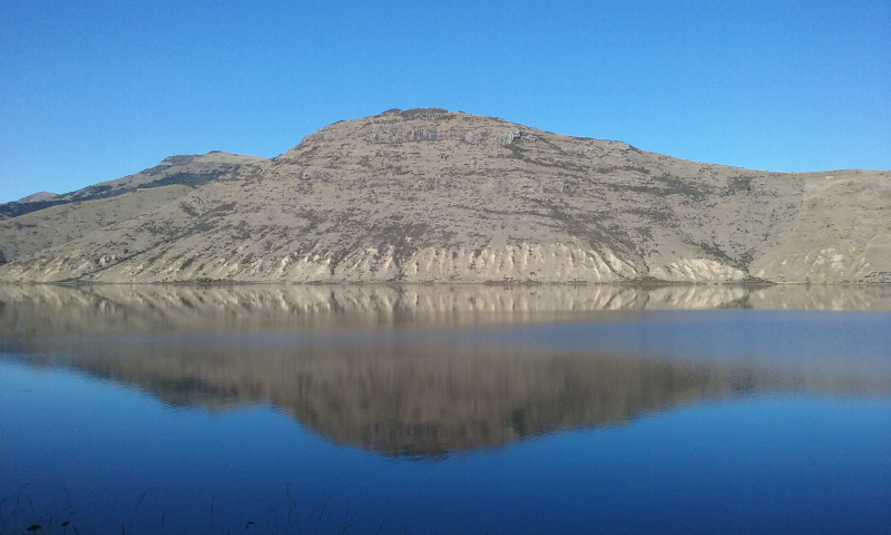
Birdlings Flat to Little River
Section Distance: 9.7km
Fitness level and Skill: Easy
This section traverses along the old railway embankment to the Little River township, finishing opposite the Little River Railway Station, now an Information and Craft Centre.
Much of this section travels beside Te Roto o Wairewa (Lake Forsyth). The Wairewa Rūnanga is developing a Mahinga Kai Cultural Park in this area and has established the Takuahi Research and Development Company to oversee this work. This group has been the lead organisation in the development of this section of the Rail Trail.
There are toilets at Catons Bay and in the Little River township.
At the start of Little River village, and the gateway to Banks Peninsula, is one of Canterbury’s true country gems.
Established in 1877, the Little River Inn is where good food, cold drinks, and warm welcomes come together. Whether you’re finishing the Rail Trail or just passing through, it’s the perfect spot to rest your legs, refuel, and soak up some local flavour.
Grab a sunny seat in the garden, or cosy up inside — either way, you’ll experience country hospitality at its best.
The Little River Wairewa Community Trust and Rod Donald Banks Peninsula Trust and other partners are currently working on creating an off-road trail between the village and the Inn so it is safe. We don't recommend biking or walking across the highway. If you are getting picked up by car in Little River, you could visit by car.


